
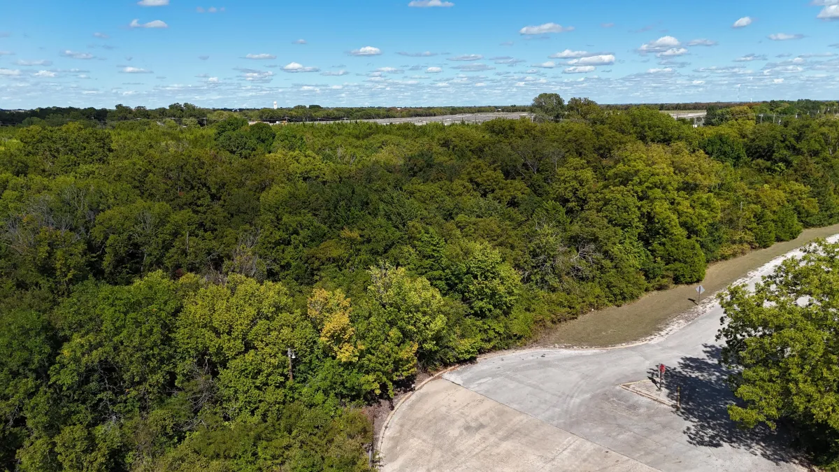
Aerial Mapping Solutions
Our drone services provide accurate and detailed aerial maps, essential for land development and planning.
Benefits:
High-resolution orthomosaic maps
Precise topographical data
Efficient coverage of large areas
Leverage our advanced drone technology for your land surveying and mapping needs.
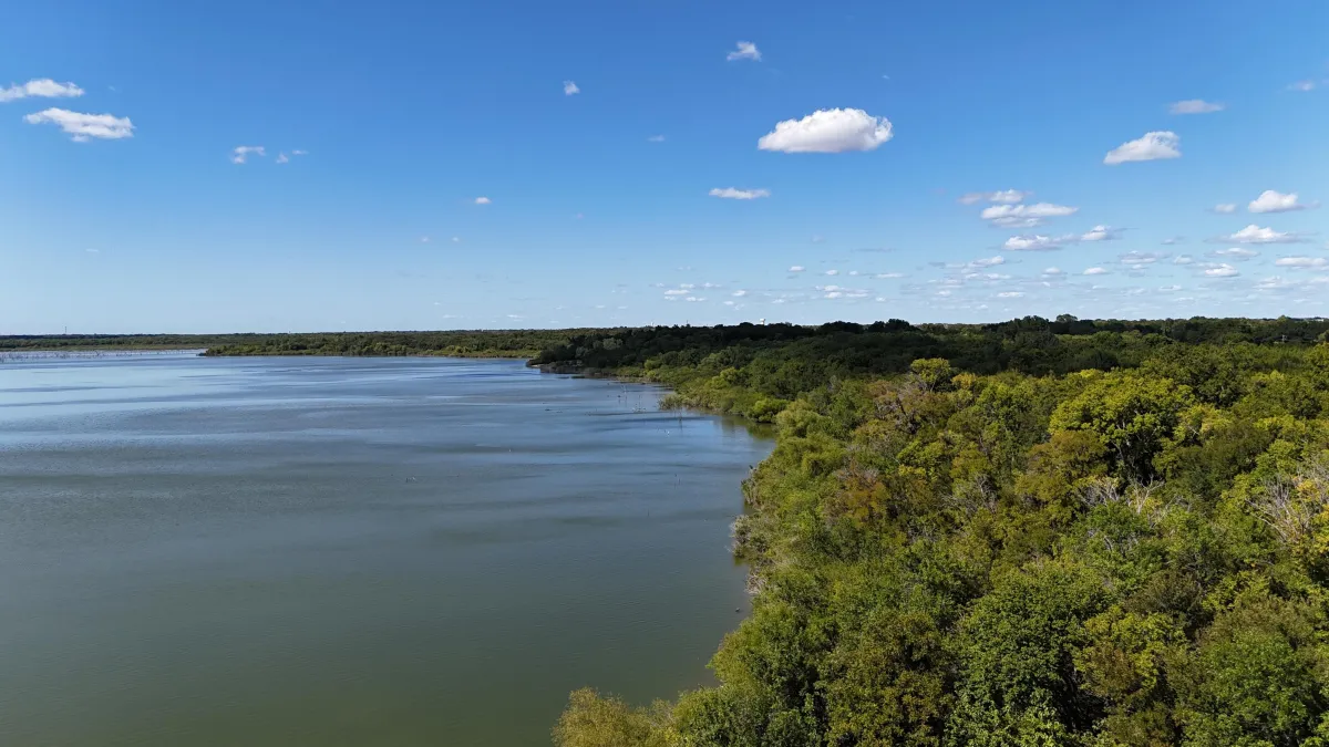
CONTACT US
*FAA PART 107 CERTIFIED DRONE PILOT
© Copyright 2026. All Rights Reserved.